


Ask about this product by AI

VEVOR Underground Water Detector, Up to 492ft (150m) Pro Underground Water Detection Locator, 7" Touchscreen Auto Mapping Well Detector Explorer with Multi-Frequency Measurement, 8GB Card, Carry Case

- High-Precision Detection: VEVOR professional underground water detector supports up to 492ft (150m) detection depth. Combined with its single-channel prospecting system, it ensures focused and accurate detection, helping you quickly and precisely locate underground water
- Multi-Frequency Measurement: Our underground water locator supports single, triple, and 33-frequency measurement for comprehensive geological detection. Multiple frequency options adapt to various ground conditions, enhancing detection accuracy and efficiency
- Automatic Mapping: This underground water detection device features real-time automatic mapping and strong anti-interference capability for stable, reliable data output. It helps you quickly determine the location and depth of underground water, with an 8GB storage card for easy data saving
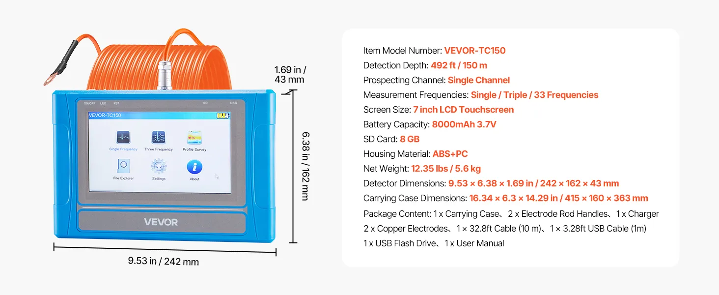
- Easy Operation: Equipped with a 7-inch HD LCD touchscreen that clearly displays detection data and graphics. With 12 language options and responsive touch controls, this underground water detector provides a more convenient and intuitive detection experience
- Longer Runtime: Powered by a 8000mAh 3.7V high-capacity battery, this underground water resource locator supports up to 8 hours of continuous use. 32.8 ft extra-long power cable allows for flexible use and portable carrying case for convenient storage and transport
Frequently Bought Together
Reviews
About this item


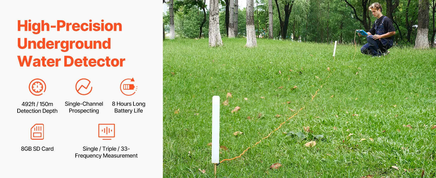
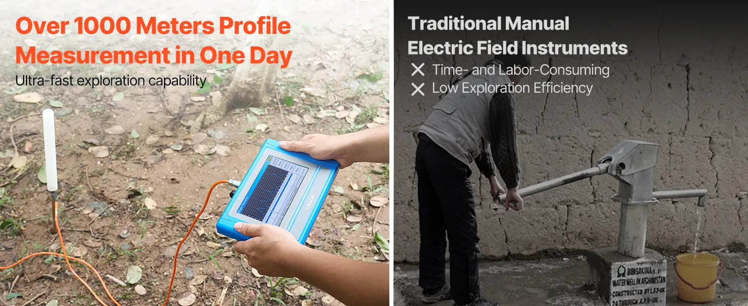
492 ft (150 m) Detection Depth for Accurate Underground Water Location
With a strong detection depth of up to 492 feet (150 meters), the VEVOR groundwater locator is a dependable instrument for exploring deep subterranean water. Even in places where water is difficult to detect, users can locate water sources that are far below the surface thanks to its depth range. Using this equipment, users can more confidently explore the deep-water layers in many places that are inaccessible with simple tools.
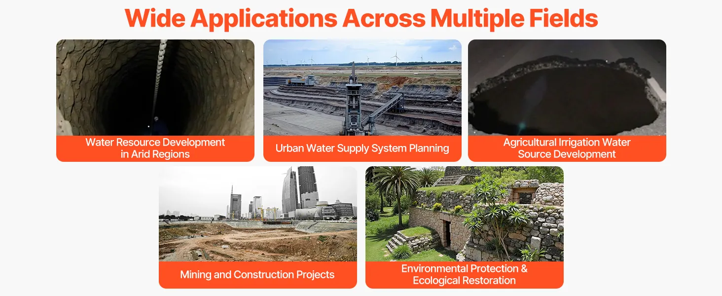
This deep detection capability supports critical tasks, including water resource surveys, irrigation planning for farming, and well drilling. Before beginning expensive drilling work, users can easily see where water is present and how deep it extends. It enables experts and field workers to make better decisions based on precise subterranean data rather than conjecture.
Single-Channel Prospecting System for Focused and Precise Detection
This locator's single-channel prospecting technology concentrates detection signals along a single, unobstructed path. Because of its design, the gadget can gather precise, clear subterranean data without interfering with signals from other sources. This method increases reliability and prevents misinterpretation of detection data when searching for subterranean waterways.
Users can find water sources more quickly and precisely using this targeted prospecting technique. Field surveys are easier and more structured because of the device's excellent signal tracking. Because it maintains detection stability in a variety of settings, this system is useful for extended workdays. Users may rely on the locator to produce reliable results, whether operating in open or challenging terrain.
Single, Triple & 33-Frequency Measurement for Complex Ground Conditions
The VEVOR groundwater locator can adapt to a variety of ground conditions thanks to its single, triple, and 33-frequency measuring modes. Multiple frequency settings give users more control, as different soils respond differently to detection signals. Depending on soil type, moisture content, and subsurface structure, users can choose the optimal frequency. This adaptability enhances detection precision in a variety of settings.
Even in rocky, sandy, or mineral-rich soil, users can obtain clearer readings by utilizing the appropriate frequency setting. The multi-frequency technology improves water detection clarity while reducing spurious signals. Because of this, the locator is suitable for professional fieldwork where ground conditions frequently vary. Users do not have to pause or worry about confusion when moving between modes.
7-Inch HD LCD Touchscreen for Clear Data Visualization and Control
A sizable 7-inch HD LCD touchscreen on this locator displays data in an understandable, accessible manner. The screen's straightforward visual presentation of readings, maps, and graphs helps users quickly understand the information. The display is sharp and readable even in direct sunlight and outdoor environments. This feature allows users to avoid mistakes when reading detection data.
The touchscreen facilitates seamless menu and setting navigation and reacts swiftly to input. With just a few touches, users can check results, modify parameters, and control detection settings. The device is appropriate for users from many geographical locations due to its multilingual interface. New operators may learn more quickly because of this design, which also makes the user more comfortable.
Real-Time Automatic Mapping with Strong Anti-Interference Performance
During detection, the groundwater locator may produce real-time subterranean maps using its automatic mapping feature. As they travel across the land, this feature enables users to observe the depth and location of underground water. By eliminating the need for manual sketching or taking notes, automatic mapping speeds up and improves accuracy.
To shield signals from external noise, the device also features robust anti-interference technology. This technique reduces disruptions caused by electrical equipment, metal objects, and adjacent structures that might impede detection. This feature lets users work with confidence and increases faith in the findings.
8GB Built-In Storage Card for Easy Groundwater Locator Data Saving and Analysis
Users can store detection data immediately on the device thanks to the integrated 8GB storage card. Without the need for additional equipment, this storage capability aids in recording important survey data. During extended detection sessions, users can save numerous scans, maps, and readings. This feature ensures no data loss during fieldwork.
You can later examine the saved data for planning, reporting, or comparison with future surveys. Professionals who require records for project documentation or drilling plans will find this useful. The storage system maintains data accessibility and organization. Without worrying about data management, users may focus solely on detection tasks.
8000mAh 3.7V Battery with Up to 8 Hours of Continuous Runtime
The high-capacity 8000 mAh 3.7V battery that powers the groundwater locator runs continuously for up to 8 hours. Without regular recharges, users can complete surveys for the entire day thanks to the long battery life. For remote and outdoor operations where power sources might not be available, it is perfect.
Reliable battery performance lowers interruptions and increases productivity. Knowing the gadget will continue to function, users can confidently schedule extended detection sessions. Throughout the working day, the battery maintains steady operation and reliable signal performance. This makes the device dependable for long-term and professional use.
32.8 ft Power Cable and Portable Carry Case for Flexible Groundwater Locator Field Operation
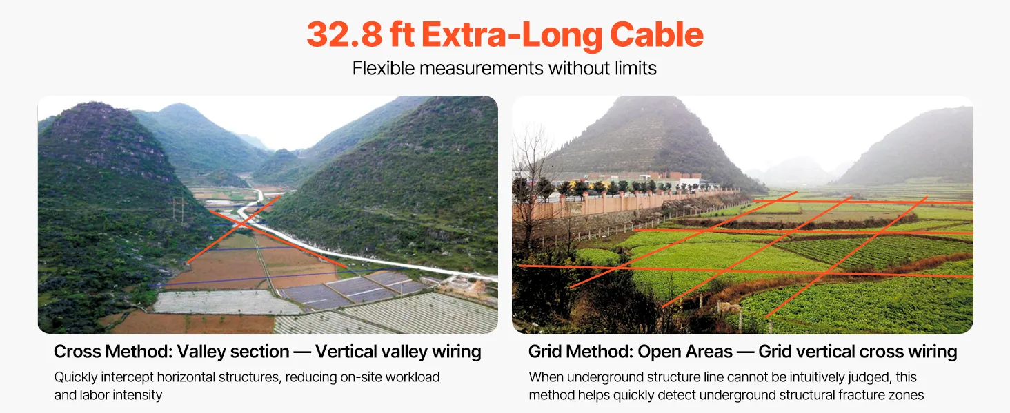
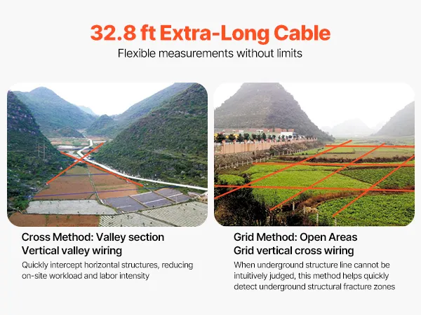
Users have greater freedom when operating thanks to the 32.8-foot extra-long power cable. It enables easy mobility throughout survey regions and flexible equipment positioning. Without restricting the detection range, users can readily modify their configuration. This feature facilitates seamless functioning across expansive or uneven terrain.
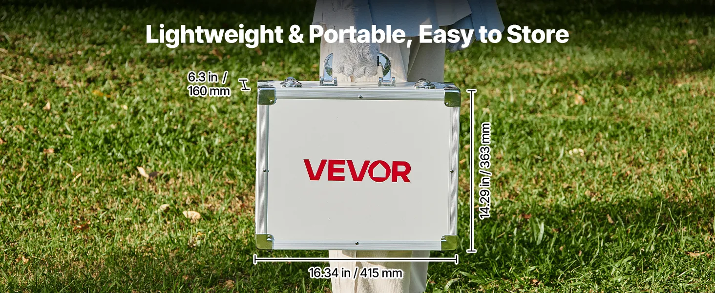
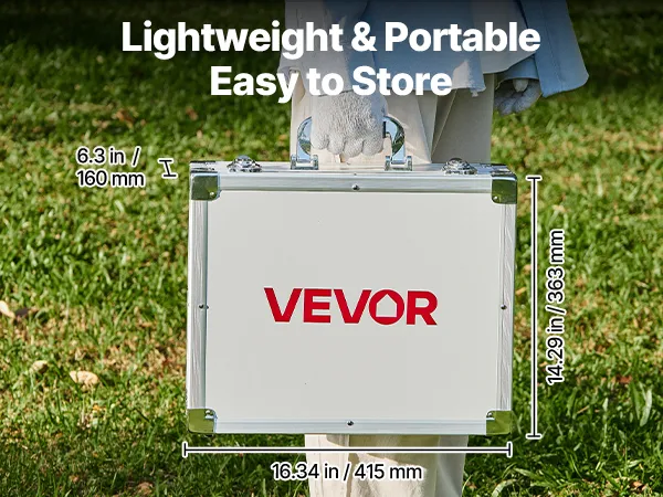
The portable carry case protects the locator during storage and transportation. It protects the gadget from weather, impact, and dust. Additionally, the case facilitates travel and helps organize accessories. Field workers who need dependable equipment protection for their job across several sites may benefit from this design.